OBJECTIVE
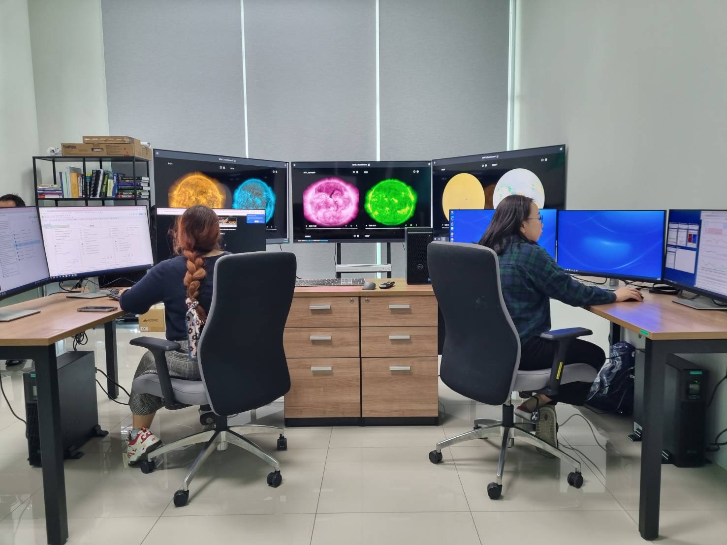
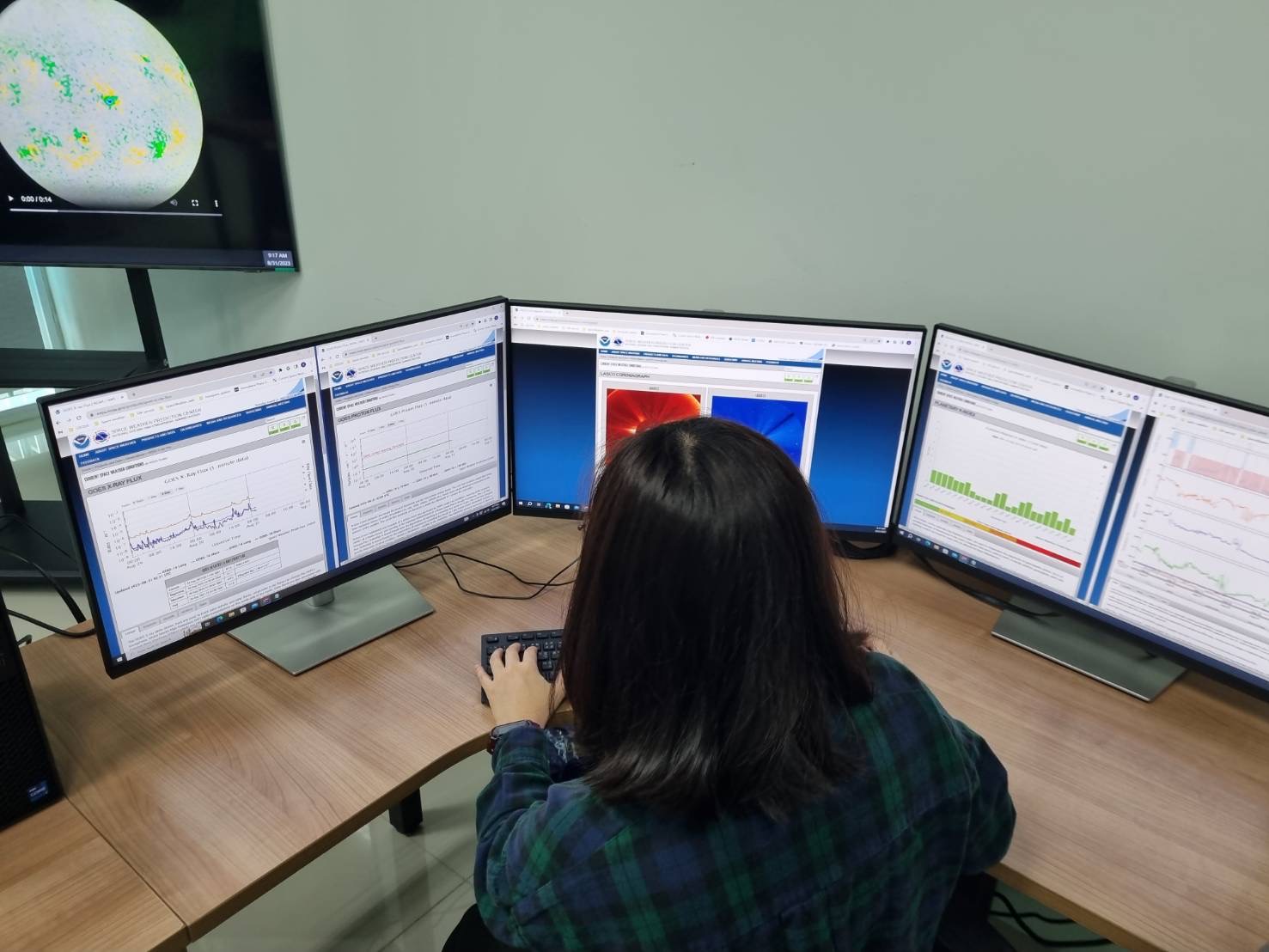
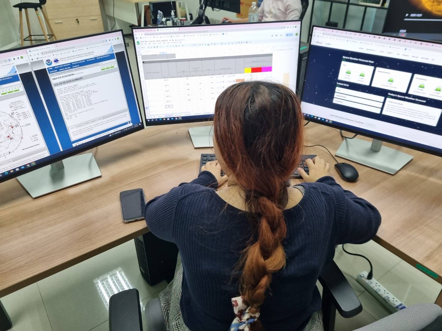
This project aims to focus on monitoring and warning the threats from space weather. Especially the weather conditions
from outer space due to the Solar activities, such as, solar flare, solar storm, coronal mass ejections (CME). Those
phenomena can affect the atmosphere and Earth's magnetic field result in telecommunication on radio wave disturbances.
And be able to provide information for researchers and those interested in using the information, etc.
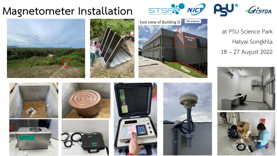
UTILIZATION
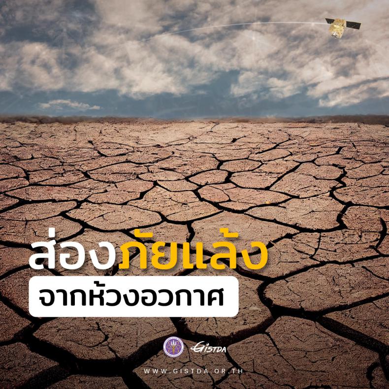
Data from Space Weather will be analyzed. and published for public benefit to those who are interested It can also lead
to research and development in many areas, including studying the characteristics of the ionosphere. aircraft navigation
system and satellite communications, etc.
Space Technology Research Center
Space Technology Research Center, ( S-TREC) is a research center that focuses on the development of space technology. It
has two main objectives: Research and development Capacity building.
Research and development
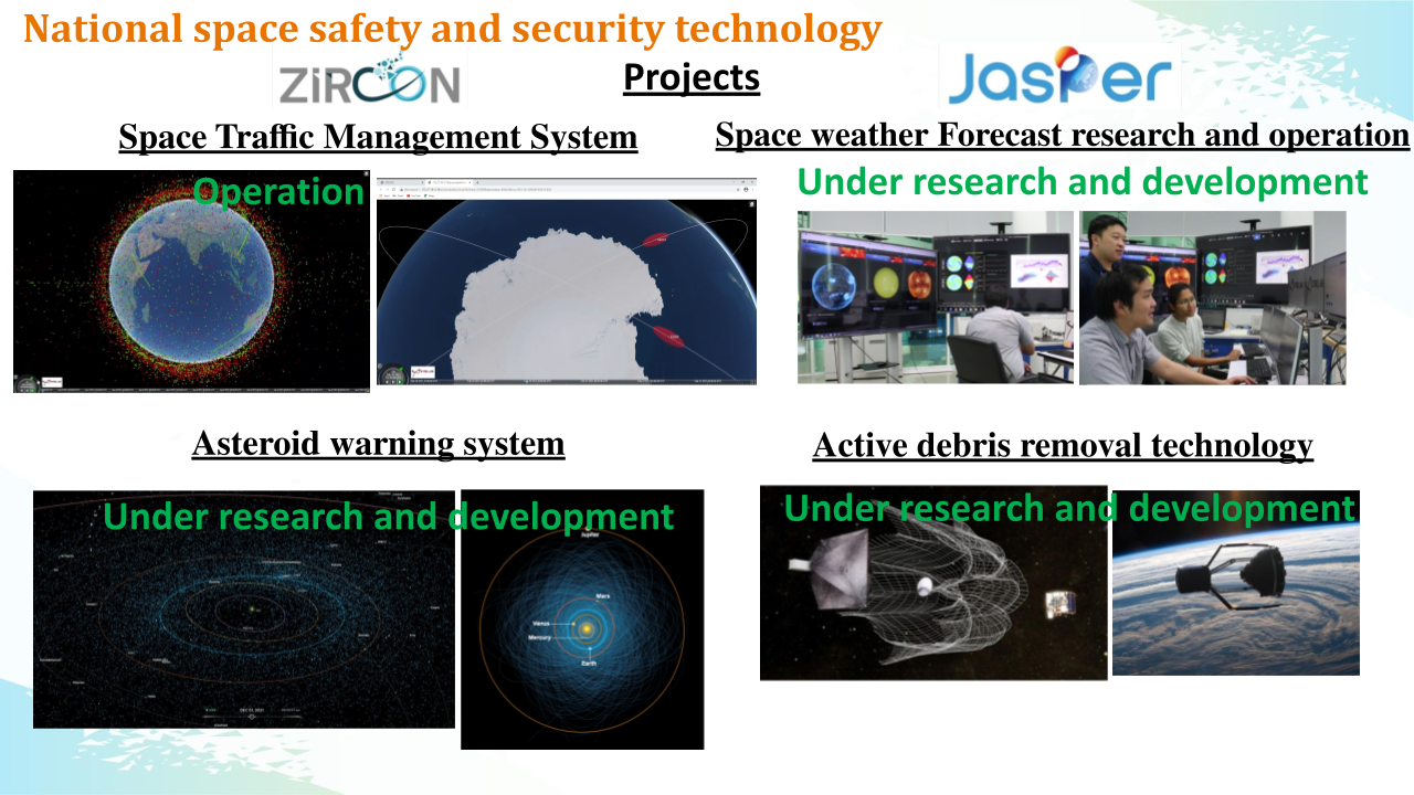
1. Space Traffic Management System
Space Traffic Management System
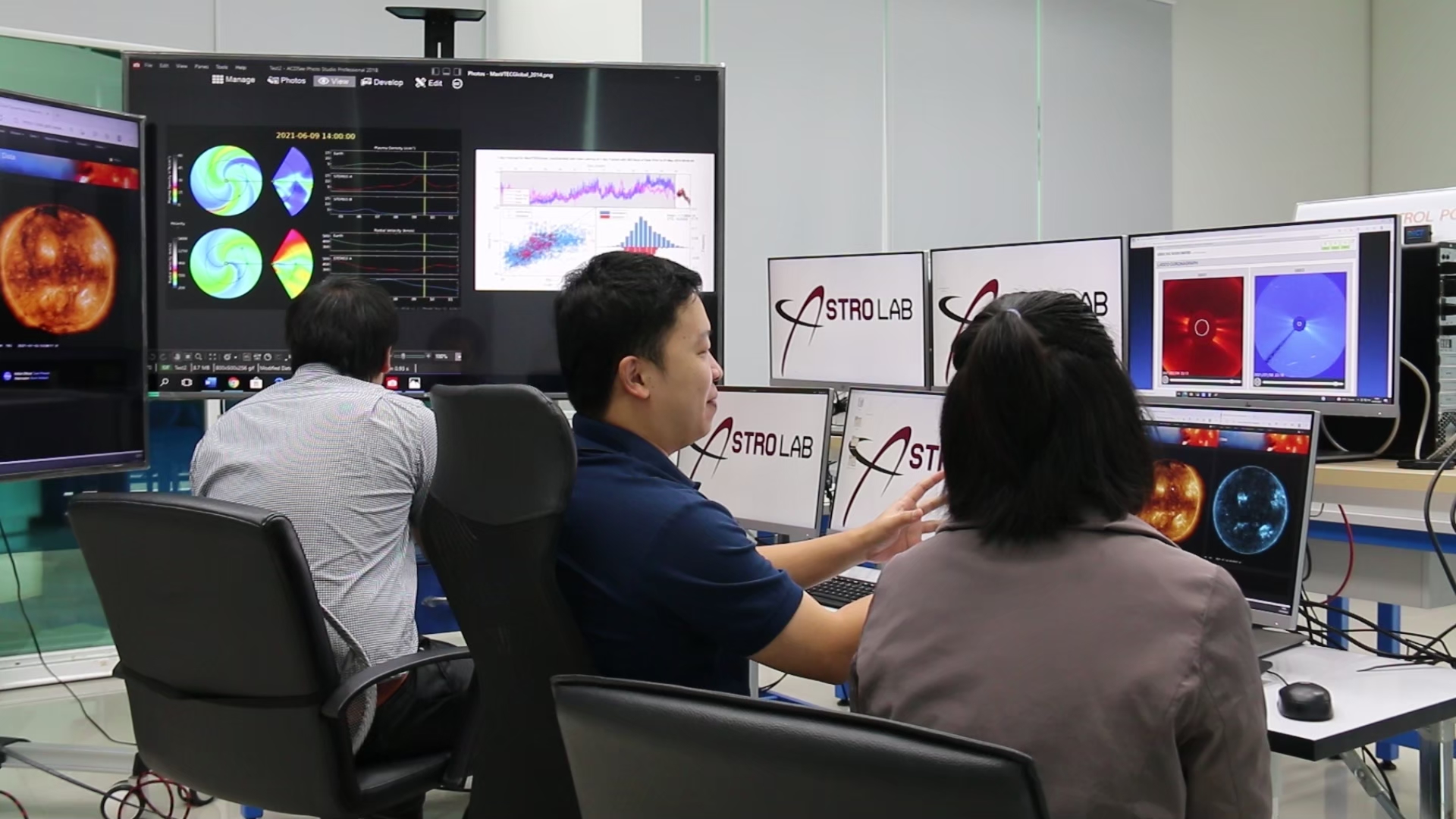
Space Weather Forecast System
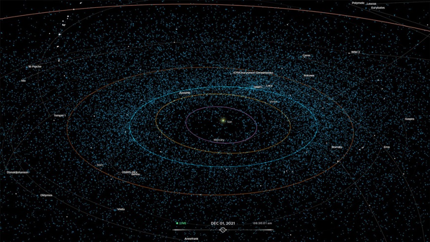
Asteroid Warning System
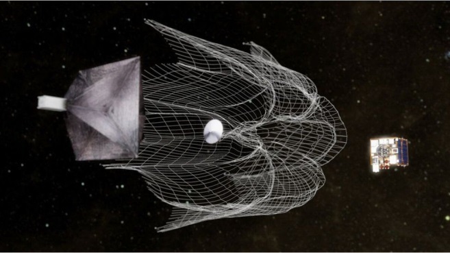
Active Debris Removal Technology
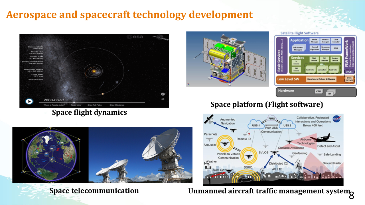
2. Aerospace and spacecraft technology development
Space flight dynamics
Onboard flight software
Space telecommunication
Unmanned aircraft traffic management system
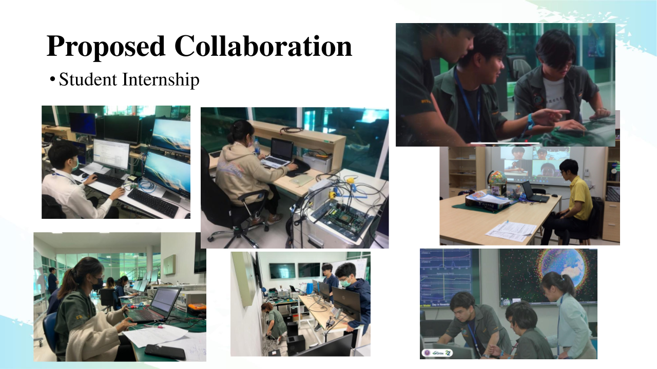
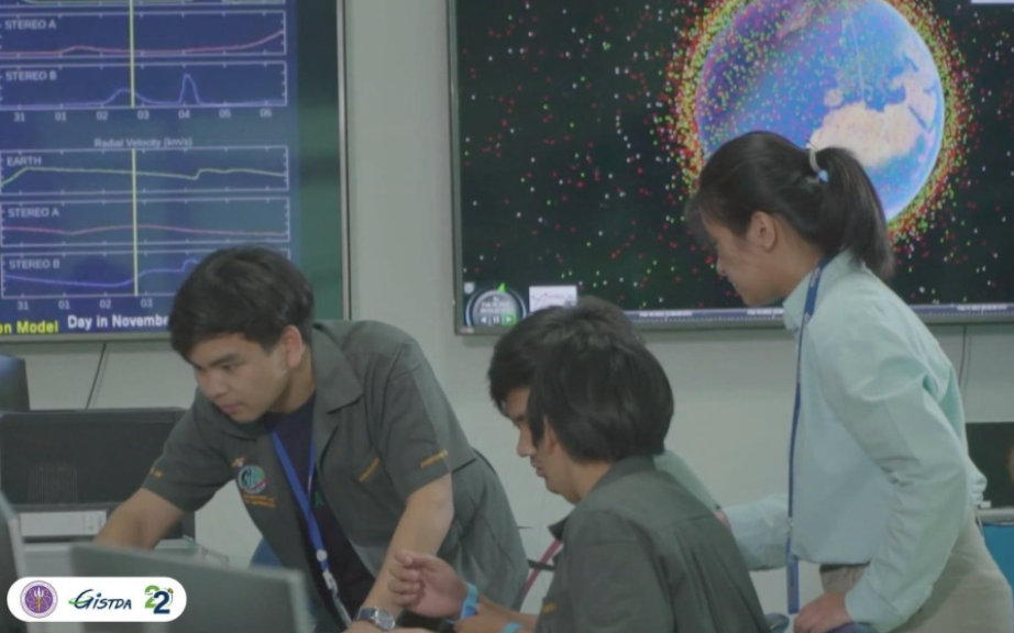
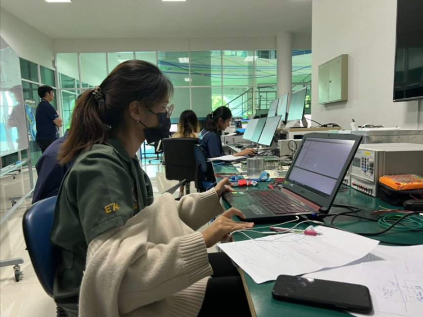
Capacity building
1. Internships
2. undergraduate and graduate programs
Other Projects
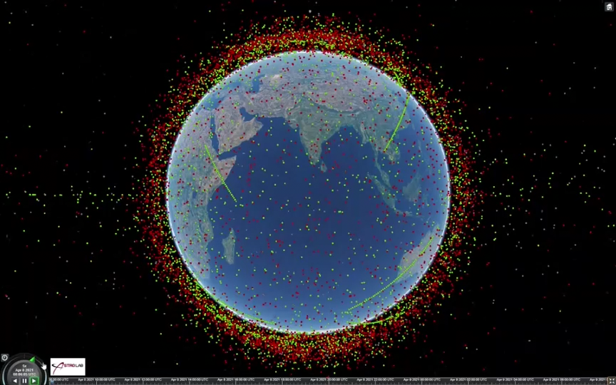
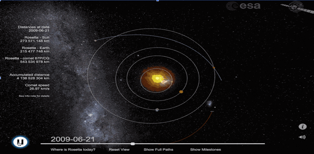
Space traffic management
The increasing number of satellites and space objects in orbit poses a higher risk of collisions and the creation of space debris, which can have cascading effects and threaten operational satellites and spacecraft. Therefore, a space
traffic management system is essential to enhance space situational awareness and mitigate collision risks to ensure the peaceful and sustainable.
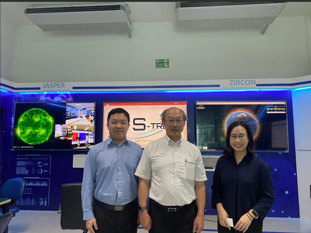
GISTDA has developed a space traffic management system called ZIRCON to monitor the collision risk of the upcoming
satellites THEOS and THEOS2. In the future, there are plans to provide services to satellite users in Thailand.
At present, the process has been completed.
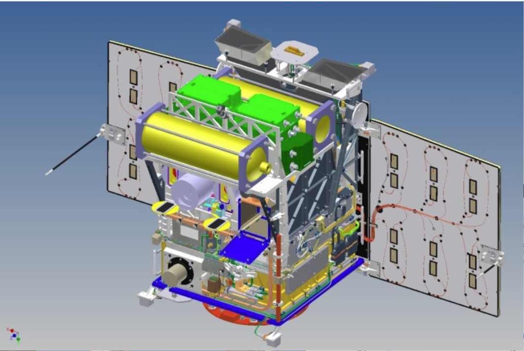
Onboard Flight Software of Small Satellite
Flight software of satellites works as the brain that controls satellite operation in orbit throughout its life cycle.
Therefore, this system has been researched and developed to enable the capability of small satellites development in
Thailand. In addition to the development of the flight software system, there must be a flight software testbed that can
mimic the space environment for testing and verifying the developing flight software. The testbed is the satellite
simulator system that simulating satellite onboard equipment, satellite dynamics and space environment.
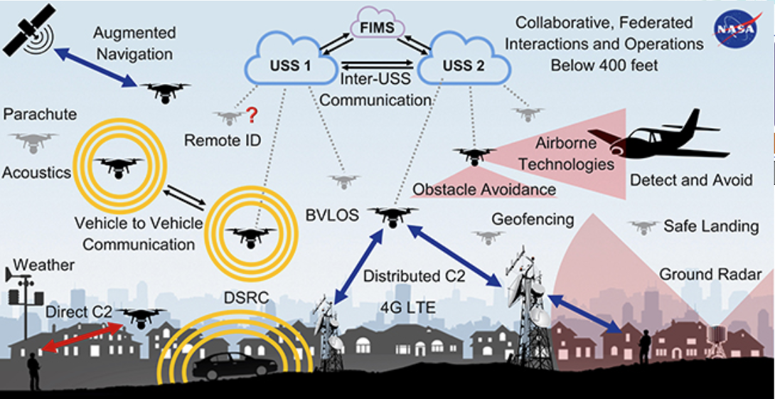
Unmanned aircraft traffic management system
International Civil Aviation Organization (ICAO) defines UTM as a specific aspect of air traffic management which
manages UAS operations safely, economically and efficiently through the provision of facilities and a seamless set of
services in collaboration with all parties and involving airborne and ground-based functions.
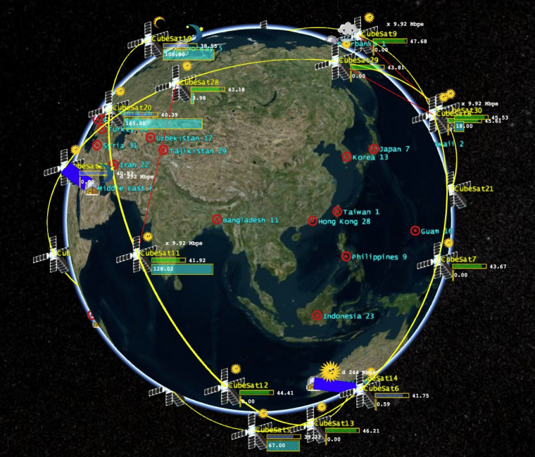
Development of Space Surveillance and Tracking System (GARNET)
With the increasing number of satellites and space debris, Space Traffic Management (STM) has become a global priority. The risk of collisions in orbit threatens the safety and sustainability of space activities.
Thailand’s GARNET Project was initiated to develop a Space Surveillance and Tracking (SST) system, supporting Space Situational Awareness (SSA). The project focuses on detecting, monitoring, and analyzing the behavior of space objects to enhance space safety and establish the foundation for the country's future space missions.
Space Telecommunication and Radar Systems
The Space Telecommunication and Radar Systems (STARS) program focuses on sensing and communication technologies to support sustainable safety both in space and on Earth.
✅ The patch antenna, designed to endure the space environment, enables reliable communication between spacecraft and ground stations.
✅The ground-based synthetic aperture radar (GB-SAR) system maps the Earth surface into an image which can be used in disaster and environment applications.
✅ The passive RF drone detector identifies drone activity by analyzing radio signals without emitting any transmissions, allowing for covert monitoring.
 ไทย
ไทย Eng
Eng